Every garden map starts the same way: someone stands at the corner of a bed with a tape measure, a crumpled sheet of graph paper, and a growing suspicion that the shed is not where they thought it was. What happens next is the real decision. Do you keep going with pencil and paper, or move the whole thing onto a screen? Both work. Both fail in specific, predictable ways. The trick is knowing which failure you can live with, and which method you will still be using in July when the beds are full and the map matters most.
Two tools, two different jobs
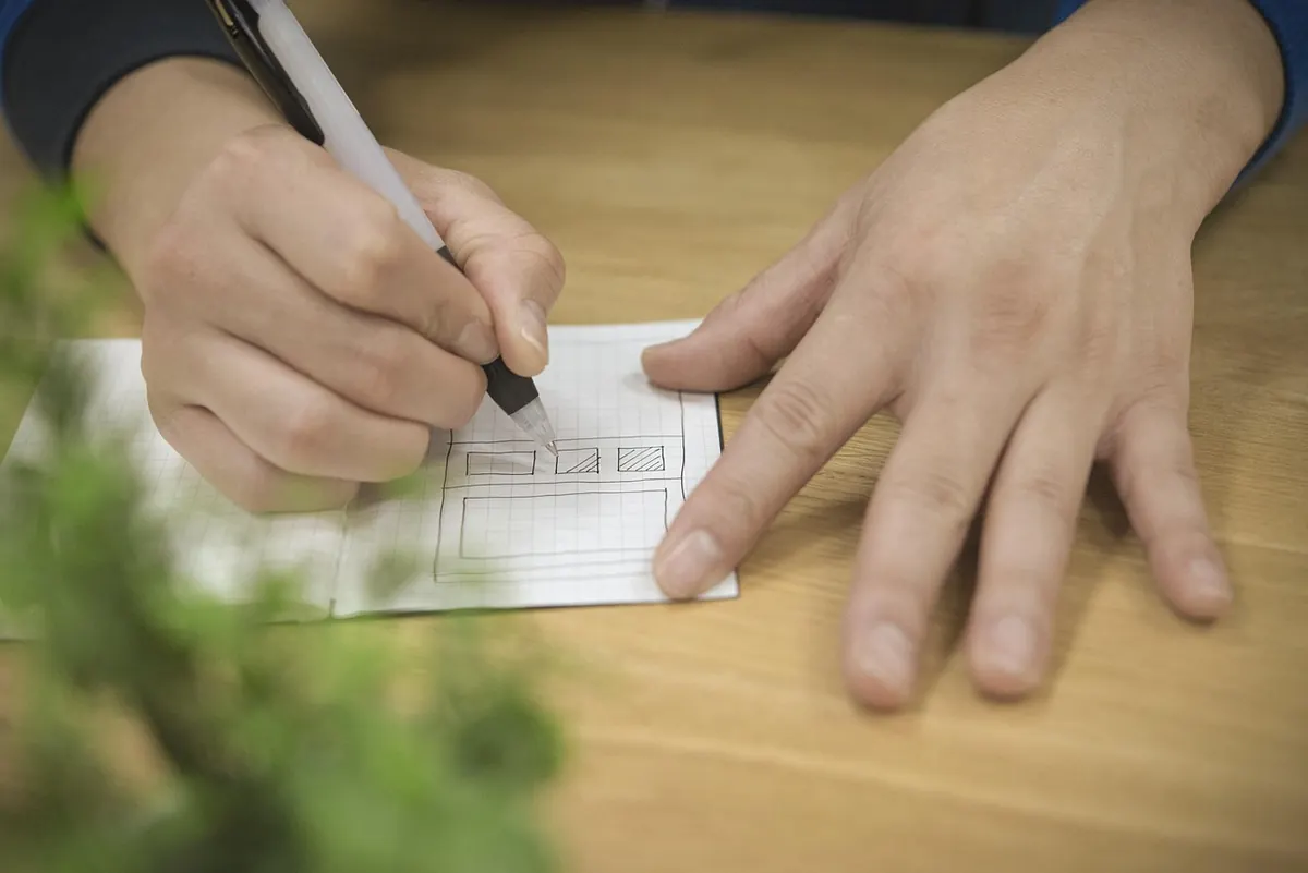
A paper sketch is any hand-drawn plan: a sheet of A3 graph paper, a scale ruler, a 2B pencil, and a rubber band holding last year's version underneath. It is drawn at the bed, on site, often with muddy fingers. Its great strength is that it does not ask anything of you. No login, no charging cable, no decision about file formats. You look, you measure, you draw.
A digital garden map is the same information held in a drawing app, a CAD program, or a dedicated garden planner. It lives as layers: boundaries, hard landscaping, beds, planting, irrigation, utilities. It can be zoomed, copied, printed at any size, and shared with whoever is holding the other end of the tape measure.
The confusion comes from treating them as competitors. They are not. One is a field tool, the other is an archive. Most good garden maps use both, in that order.
Accuracy: what each one actually gets right
Neither method fixes a bad measurement. If you pace out the length of a border instead of measuring it, your plan will be wrong whether it is drawn in pencil or plotted on a screen. Accuracy comes from technique: measuring from a fixed baseline such as the house wall, taking offsets at right angles, and closing the loop by checking a diagonal. Do that properly and a hand-drawn plan on graph paper is accurate enough for laying out beds, paths, and a shed base.
Where paper drifts
Paper introduces its own small errors. Sheets stretch slightly with humidity, photocopiers scale by a percent or two without telling you, and every redraw adds a little cumulative slop. Drawing neatly at a consistent scale, say 1:50 for a small garden or 1:100 for a large one, keeps this in check. So does drawing once and tracing over it, rather than starting fresh each time.
Where digital drifts
Digital tools do arithmetic for you, keep scale locked, and let you measure an area with two clicks. The danger is at the start, when you trace over a satellite image or import a photo without setting the scale. Everything downstream inherits that error, quietly, and looks convincing because it is neat. Set the scale first, check one known dimension against reality, then draw.
Cost: the receipt you don't keep
Paper is cheap to start and expensive in time. A sketch pad, a scale ruler, a couple of pencils, a decent eraser, and a roll of tracing paper will see you through several seasons. What you pay in is redrawing hours, especially if you want a clean copy each spring.
Digital costs more up front, in money and in learning. Free planners exist and are fine for a single small garden; more capable software and drawing apps ask for a subscription or a one-off fee. The hidden cost is the first fortnight, when you know what you want the map to look like but not yet which button does it.
- Paper kit: graph paper, scale ruler, pencils, eraser, tracing paper, a clipboard, a waterproof wallet for the field copy.
- Digital kit: a drawing or planning app, a device you actually enjoy using, a naming system for files, a backup you check occasionally.
- Both: a long tape measure, a 30 cm ruler, and something to kneel on.
Ease of use, especially outdoors
This is where paper wins without much of a fight. It works in drizzle, in bright sun, in gloves, and after being dropped in a wheelbarrow. It does not go to sleep mid-measurement. It does not need a stylus that your cold fingers cannot feel. You can scribble a note about the terrible drainage in the corner and it stays there.
Digital is a February activity. Sitting at a table with a cup of tea, translating the field sketch into something clean, is genuinely pleasant, and it is the point at which the digital version earns its keep. Some phone apps let you sketch on site, which suits quick edits, but glare, battery, and small screens make them a poor substitute for a pencil when you are crouched beside a greenhouse.
A map you are willing to scribble on will always beat a beautiful one you are afraid to mark up.
The long game: edits, versions, and the drawer problem
Garden maps are never finished. A bed becomes a path, a path becomes a pond, and the apple tree you drew at the correct 3 m spacing is now 5 m across and shading the whole plan. The question is which method absorbs change better.
Paper handles a single change well and a decade of changes badly. Ten years of overwriting turns a plan into a palimpsest. The reliable pattern is to redraw a clean copy every few years, keep the old ones, and never work only on the master sheet. Keep the master in a drawer, carry a photocopy outdoors. If you have ever lost the only copy of a layout to a watering can, you know the rest.
Digital handles edits its own way, with its own hazards. Layers let you keep this year's planting separate from the structures beneath, which is a real gift. Version naming is the thing that saves you: something like garden-plan-2025-beds and garden-plan-2026-beds is unglamorous and works. Export a PDF for the shed wall and for anyone helping you dig. Check that your backup actually restores, once a year, before you need it.
The hybrid approach most gardeners settle into
After a season or two, most people land on the same routine. It is not clever, and that is why it holds up.
- Measure on site with a tape and a baseline, and sketch roughly in pencil. Nothing neat, just accurate numbers written down.
- Redraw once at a clean, stated scale, either on graph paper or straight into the app if you are comfortable.
- Digitise that clean version, or photograph the paper sheet and store it alongside. Set the scale and verify it against one known dimension.
- Print two copies: one laminated for the shed, one plain for notes in the house.
- Update the digital master once a year, in winter, with the changes you noted on the paper copy during the season.
Choosing for your own garden
If your plot is small, your plans are simple, and you would rather spend an evening planting than learning software, stay with paper. Draw at a consistent scale, keep the master dry, and redraw every few years. You will not regret it.
Go digital if the garden is large, if you are managing several seasons of rotation, if you need to hand a plan to a contractor, or if you rent and will eventually pass the layout on. Those situations reward layers, easy copying, and a file you can email.
And whatever you pick, start with paper anyway. Ten minutes with a pencil at the corner of the bed will tell you more about your garden's real dimensions than an hour of scrolling through app menus. The screen can wait until the kettle is on.
Photo: Greta Hoffman / Pexels