Garden mapping and landscape design are often treated as interchangeable terms. They are not. A garden map records what is already there: the boundaries, levels, trees, drains, views and awkward corners that shape how a site behaves. Landscape design is the process of deciding what should change and how. One is a record; the other is a proposal. Confusing them is one of the main reasons garden projects drift, overspend or solve the wrong problem.
Two Different Jobs, Often Confused
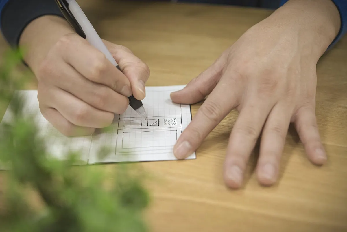
Mapping answers a factual question: what exists here, and where? It is about measurement, observation and clear documentation. A good map may be a simple hand drawing on graph paper or a measured digital plan, but its job is the same: to give you a reliable picture of the site before anyone starts moving soil, planting trees or ordering materials.
Landscape design answers a strategic question: what should this garden become, and how will we make it happen? Design involves choices about use, layout, materials, planting, levels and budget. It turns a list of wishes into a coherent arrangement. A map is evidence. A design is an argument for a particular future, supported by that evidence.
What a Garden Map Actually Contains
A useful garden map is not just a rough sketch with a few shrubs marked. It should record the things that will influence later decisions, even if they seem boring at the time. A practical map usually includes:
- Boundaries and dimensions: the overall plot shape, house walls, fences, gates and the main distances between fixed points.
- Levels and slope: high and low points, steps, banks and any areas where water is likely to collect or run.
- Fixed structures: sheds, garages, patios, paths, walls, retaining edges, drains, manholes and overhead obstacles.
- Services: visible utility covers, outdoor taps, lighting cables, downpipes and anything you know is buried or overhead.
- Trees and planting: mature trees, hedges, large shrubs and plants worth keeping, with approximate canopy spread.
- Sun, shade and exposure: where sun falls at different times of day, where shade sits, and where wind or frost is noticeable.
- Soil and drainage: soil type, wet patches, dry areas, compaction and how quickly water drains after rain.
- Access and views: how materials will get in, where bins and tools are stored, and what you want to screen or frame.
Accuracy matters, but you do not need survey-grade precision for a small domestic project. Measure from fixed reference points, write down what you measured, and take photographs to support the drawing. If boundaries, levels or structures are legally or structurally important, have them checked properly by the relevant professional.
How a Site Map Supports Design Decisions
A map prevents design from becoming guesswork. Suppose you want a terrace at the end of the garden. The map shows the slope, the position of a mature tree, the route of a drain and the narrow side access. Those facts immediately shape the design: the terrace may need steps, the tree may limit digging, the drain may need a cover or a revised level, and the access may rule out certain materials or delivery methods.
The same applies to planting. A bed that looks perfect on a sketch may sit in deep afternoon shade, under a greedy hedge or in the path of winter water. Mapping those conditions helps you choose plants that have a chance of thriving instead of replacing them every season. A map also reveals opportunities. A forgotten corner may become a sheltered seating spot. A long view may deserve a focal point. A awkward narrow path may be widened simply by shifting a gate.
Good maps also improve communication. A contractor, nursery or designer can respond to a measured drawing far more usefully than to a vague description. You can mark phases, storage areas and access routes on the same plan. And when a bright idea collides with reality, the map gives you a calm way to test it before you spend money.
Where Landscape Design Begins
Design begins once the mapping is clear enough to support decisions. It starts with use and intent: who will use the garden, at what times, for what activities, and with what level of maintenance? From there, the design moves through a concept, a layout and a more detailed plan. You might decide on zones for dining, play, storage and quiet sitting; a route through the space; a hierarchy of materials; and a planting palette suited to the site.
A full landscape plan usually goes further than a mood board or a sketch. It shows dimensions, levels, circulation, hard surfaces, planting areas and key details. Depending on the project, it may include a planting plan, construction details, drainage proposals, lighting, irrigation and a phased programme. That level of detail is not always necessary, but it is what allows a complex project to be priced, built and checked.
When You Need a Full Landscape Plan
Not every garden needs a full design package. If you are refreshing borders, replacing a shed in the same spot or adding a few pots, a decent map and a clear sketch may be enough. A fuller plan is usually worth considering when the project involves:
- Significant changes in level: new terraces, steps, banks or retaining walls.
- Drainage or water management: wet areas, runoff, soakaways or connections to existing drains.
- Structures and services: pergolas, outbuildings, electrical work or irrigation.
- A whole-garden redesign: where layout, planting, materials and budget need to be coordinated.
- Approvals or contractors: where drawings are needed for permissions, quotations or building work.
- Phased work: where you want the garden to evolve over several years without undoing earlier decisions.
For anything structural, drainage-related or subject to local rules, use a qualified professional and check requirements with your local authority. The cost of good advice is often smaller than the cost of correcting a badly placed wall, a failed drain or a plan that cannot be built as drawn.
A Simple Workflow: Map First, Design Second
- Define the scope. Decide whether you are mapping the whole garden or one problem area.
- Gather what already exists. Collect any old plans, photos and notes, then check them on site.
- Measure and sketch. Use a long tape, graph paper and fixed reference points. Note every measurement clearly.
- Record conditions. Add sun, shade, soil, drainage, views, access and existing plants to the drawing.
- Analyse before drawing. Mark constraints, opportunities and areas that need more investigation.
- Design and test. Try layouts on tracing paper or in a simple drawing app. Check them against the map.
- Build in phases. Use the map and plan to set priorities, so early work does not block later improvements.
Practical Closing: Start With What You Can Measure
If you do nothing else, make a measured map before you make big decisions. A tape measure, a notebook, graph paper and a few photographs will teach you more about your garden than an afternoon of browsing ideas. The map does not make design choices for you. It makes better choices possible, because you can see what the site will allow, what it will resist and where the real opportunities are.
Photo: Pexels / Pixabay